our process
From the first conversation to years down the road, everything we do is focused on getting it right the first time. We take the time to understand your fields—where the water sits, where the yield drops—and build a plan around what your land actually needs.
The result is a system that performs year after year, improves field conditions, and delivers a return you can count on.

Initial Consult
We begin on-site, walking the field with you to evaluate conditions and talk through your goals. That firsthand look allows us to understand how your land works and identify the most effective drainage approach.

permits
We ensure all required paperwork, licensing, and regulations are completed properly and on time so your drainage project can move forward smoothly.

Survey & Mapping
Using LiDAR and RTK, we map precise elevations and layer in satellite imagery to identify problem areas. Soil testing then confirms hydraulic conductivity across your field.

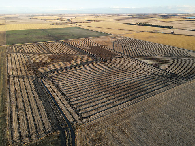
Build & Install
We then execute the plan using GPS-controlled equipment, handling everything from grading to tile installation with accuracy—ensuring each line and slope performs reliably for the long term.

Custom Plan & Estimate
We review your field’s trouble spots with you, then use survey data to create a plan tailored to your land and walk you through the options and costs before moving forward.

Quality Check
After installation, we confirm grade accuracy, close tile lines, and leave the field clean and ready to work. You’ll receive a complete system map—physical or digital—along with a proprietary depth map showing tile depths across the entire field.

Finalization
Once the project is complete, we walk through everything with you on-site. You’ll have a clear understanding of how your system works, and our team stays available for follow-ups and guidance.